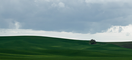
The Palouse (Eastern Washington)
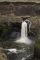
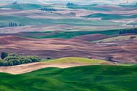
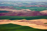
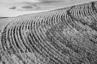
Photography in the fertile eastern-Washington wheat-growing region called “The Palouse” is all about barns, windmills, grain elevators, and the machinery and infrastructure of grain farming. Of particular fascination for us are the geometric patterns and colors of the wheat and canola (rape seed) fields, the fallow fields, recently tilled areas, and the grid of highway, local, and “primitive” (gravel and dirt) roads. The area also has some very interesting geology, including the transition on the west side into the Channeled Scablands.
We've written an article about our first trip to The Palouse, and the photography that might be done there.
Click an image below to see a larger version. Mouse over the larger picture to see navigation controls for the previous or next picture, or use your keyboard's right and left arrow keys. To visit the Galleries page, click the link in the table of contents at left.
- Additional pages in this gallery:
- < older...
- 1
- 2
- ...newer >
- Additional pages in this gallery:
- < older...
- 1
- 2
- ...newer >
